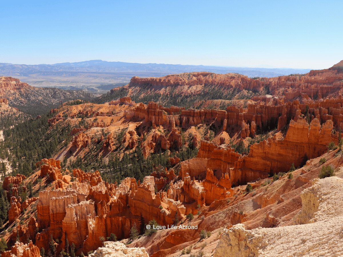
Are you planning a Utah National Parks road trip, but not sure what would be the best itinerary for your trip to hit all of the Mighty 5? What about a 10-day itinerary to the Utah national parks?
We spent a few weeks exploring Utah and drafted a few different routes to finally come up with the best itinerary for Utah national parks visits… at least we think 😉
So here is the best Utah National Parks itinerary if you have 10 days to explore the Mighty 5.
The Utah National Parks are some of the world’s most diverse and beautiful landscapes. If you’re looking for an adventure family trip, this itinerary will help you plan exactly what to do daily.
Are you ready for an epic Utah National Parks road trip itinerary?
Disclaimer: Just a heads up, this free article contains affiliate links. If you purchase after clicking one of these links, I may earn a small commission at no additional cost. Also, as an Amazon Associate, I earn from qualifying purchases. Your support helps me continue to provide helpful and free content for you.
Utah National Parks Road Trip Map
Day 1 – Arrive in Salt Lake City and Drive to Zion National Park
🚗 Distance: 308 miles
🗺️ Route: I-15, UT-17 & UT-9
📍 Stops: Meadows Hot Spring, Cove Fort, Cedar Breaks

You’ll start this 10-day itinerary to the Utah National Parks in Salt Lake City.
💡 PRO-TIP – Want to spend a few days in Salt Lake City before hitting the road?
In Salt Lake City, you can walk around Memory Grove Park, visit the Clark Planetarium, take a tour of Temple Square, enjoy the Great Lake State Park, and take an evening stroll at the City Creek Center.
It’s time to hit the road.
You’ll drive from Salt Lake City to Zion National Park using I-15. Drive for about 150 miles and follow the directions to Meadows Hot Spring for a morning soak.
Meadows Hot Springs
Meadows Hot Springs is on private property, but the owner allows visitors to enjoy the springs. There are three different natural hot spring pools, each at a different temperature.
It will give you the energy to drive for the second half of the day.
Then, head back on 1-15 and stop at Cove Fort Historic Site. It’s only 30 miles south of Meadows Hot Springs.
Cove Fort Historic Site
Cove Fort Historic Site is a fascinating place to visit in Utah. The fort was built in the 1860s by Mormon pioneers as a way station for travelers on the Mormon Pioneer National Historic Trail. The fort was strategically located between Fillmore and Beaver, two towns crucial for travelers in the 1800s. The fort was built using local volcanic rock and features two 100-foot walls that enclose a courtyard.
Make sure to go on a guided tour of the fort, which includes a visit to the blacksmith shop, a pioneer cabin, and the fort’s bunkhouse. You’ll learn about the fort’s history and the Mormon pioneers who built it.
After you visit the Cove Fort Historic Site, you’ll have 130 miles left to reach Springdale (and Zion National Park).
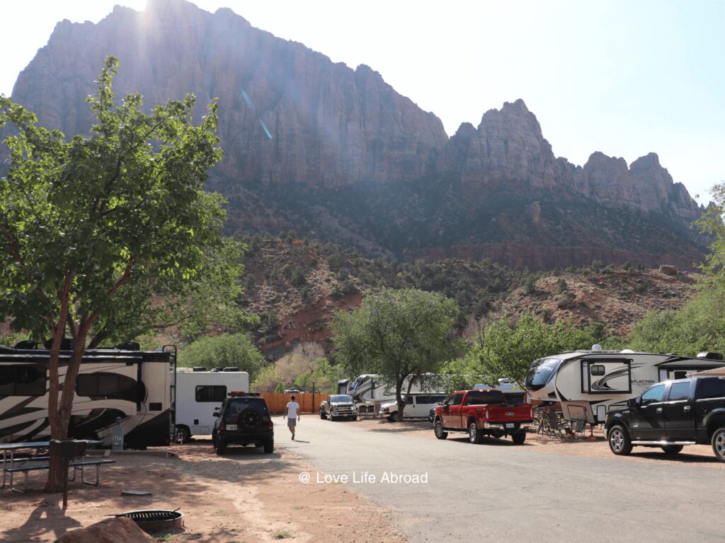
Enjoy the evening in Springdale, where you’ll stay for two nights.
🛏️ Where to Stay in Zion National Park with Kids?
If you are camping: Zion Canyon Campground and RV Resort
If you’re looking for a hotel: Hampton Inn & Suites Springdale
Looking for more lodging options? Read this article on where to stay in Zion National Park.
Day 2 – Zion National Park
Get up early and head to Zion National Park. The best time to visit this park is in the morning before it gets too hot and there are too many people.
From Springdale, you’ll want to use the park’s shuttle (and leave your car at the hotel or campground). There’s no better way to visit Zion. Many stops along the Springdale main street go to Zion National Park’s visitor center.
When entering the park, your first stop will be the visitor center, where the kids can get their Junior Ranger Booklets. These booklets contain activities for kids ages 5-12 years old. Once completed, kids can earn their official Junior Ranger badge!
Temple of Sinawawa
Then, jump back on the park shuttle bus to the “Temple of Sinawava” stop. It’s where the Narrows hiking trail starts. You should do this epic hike if you’re traveling with older kids.
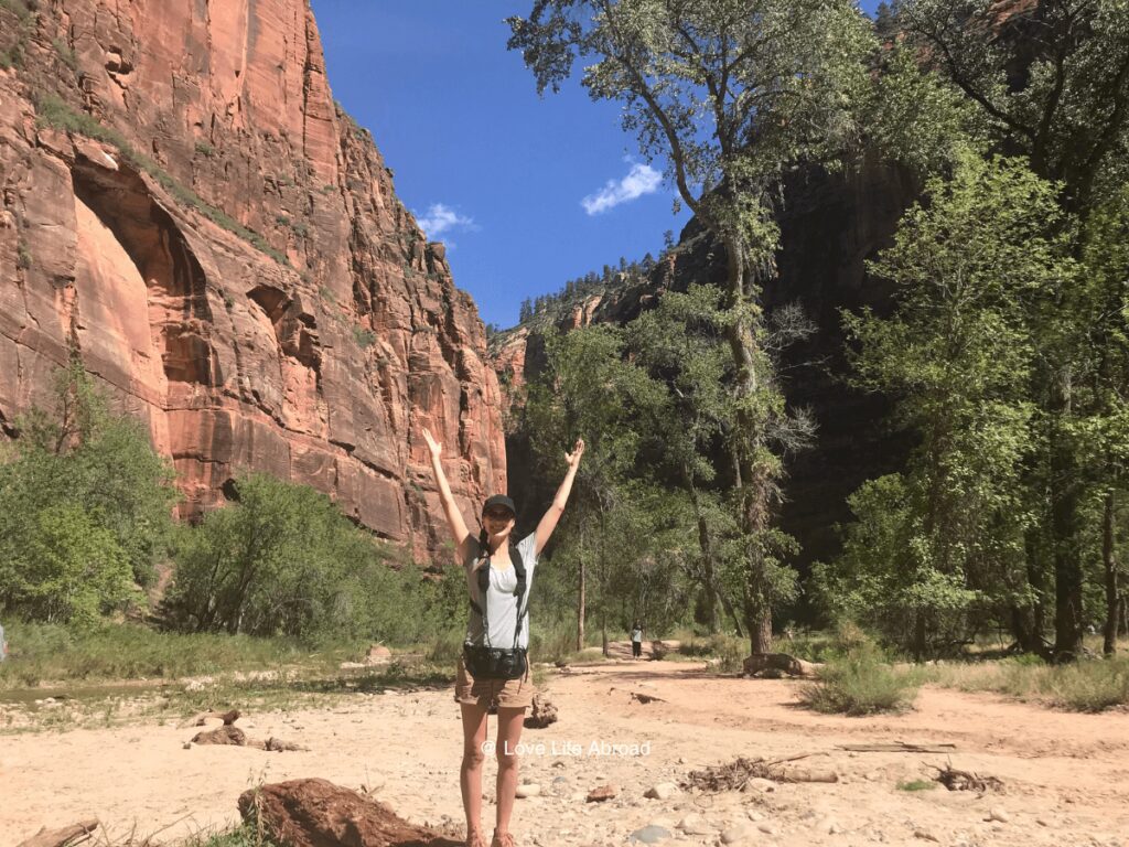
Add an extra day if you plan on hiking the Narrows.
The Narrows hike is one of the most popular hikes in Zion National Park. It is a unique hike that takes you through the narrowest section of Zion Canyon, with towering walls of red rock on either side and the Virgin River flowing beneath your feet.
It’s a 16-mile round-trip hike, so it’s unsuitable for young children. Appropriate footwear is one of the most important things to bring for the Narrows hike. You’ll be walking in water, so it’s recommended to wear sturdy hiking boots with good ankle support and neoprene socks to keep your feet warm. A walking stick can also be helpful for balance and stability in the water.
The Narrows hike can be dangerous, especially during flash floods. Always check the weather forecast before starting your hike, and be prepared to turn back if there’s any chance of rain or flash flooding.
If you’re not going to hike the Narrows, you’ll still want to enjoy the “Temple of Sinawava” and do the Riverside Walk. It’s a nice little paved 2-mile round-trip trail that takes you along the river bank to the mouth of the canyon and takes you into the Narrows hike.
Then, take the next bus to the Zion Lodge to enjoy lunch. There is a nice grassy area where you can enjoy a picnic or eat at the Zion Lodge restaurant. Kids will probably want to have ice cream!
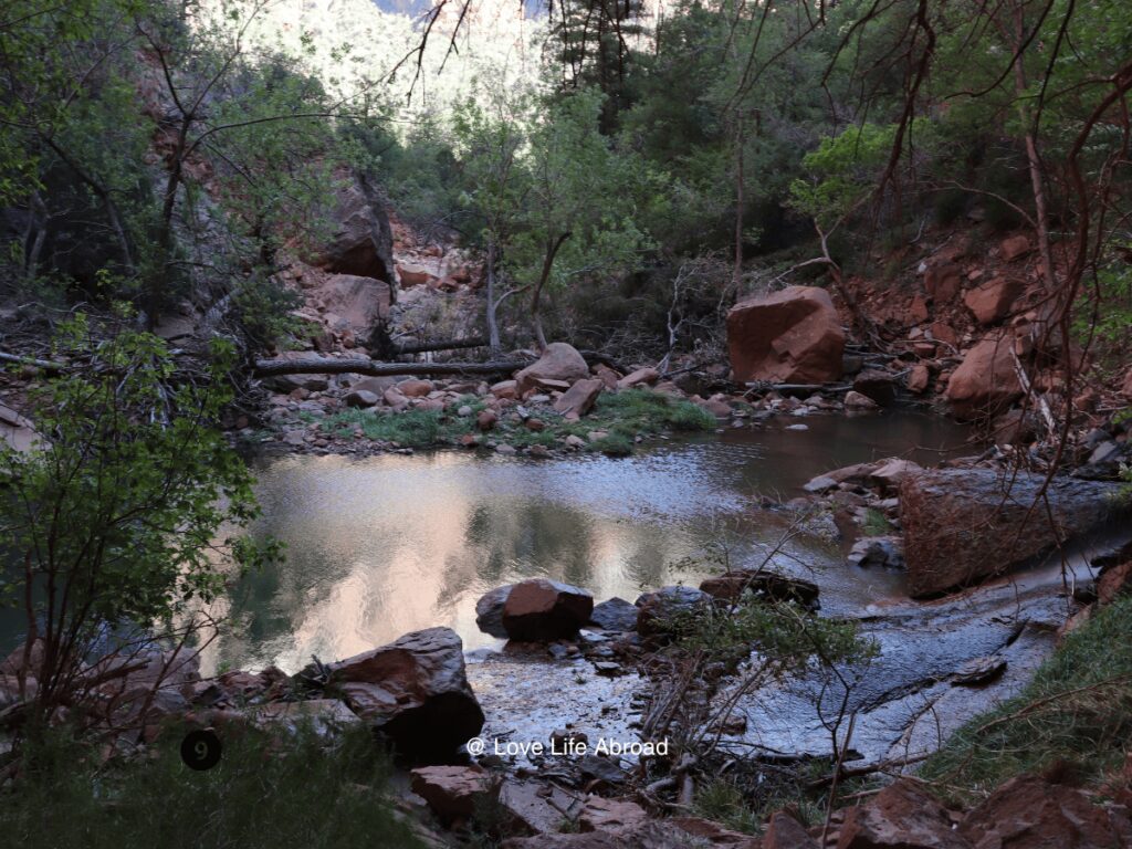
Emerald Pool Hiking Trail
When you’re ready, follow the sign to the Emerald Pool trailhead. Emerald Pools Trail is a paved trail to Lower Emerald Pool, leading to a rocky trail to the Upper Emerald Pool at the base of a cliff. It’s a 1.4-mile (2.3-km) out-and-back trail to the Lower Emerald Pool and a total of 3.0 miles (4.8 km) to reach the Upper Emerald Pools.
Enjoy the trail.
When you’re ready, take the bus back to Springdale to enjoy the hotel/campground amenities for the rest of the day.
Day 3 – Drive to Bryce Canyon National Park
🚗 Distance: 73 miles
🗺️ Route: UT-9, US-89 & UT-12
📍 Stops: Red Hollow Slot Canyon, Red Canyon Arch
Leave Springdale early in the morning. You’ll drive through Zion National Park. Don’t forget to stop at the Zion National Park sign at the Springdale entrance.
You’ll drive for about 25 miles. You can stop at a few vista points, including the Zion-Mount Camel tunnel.
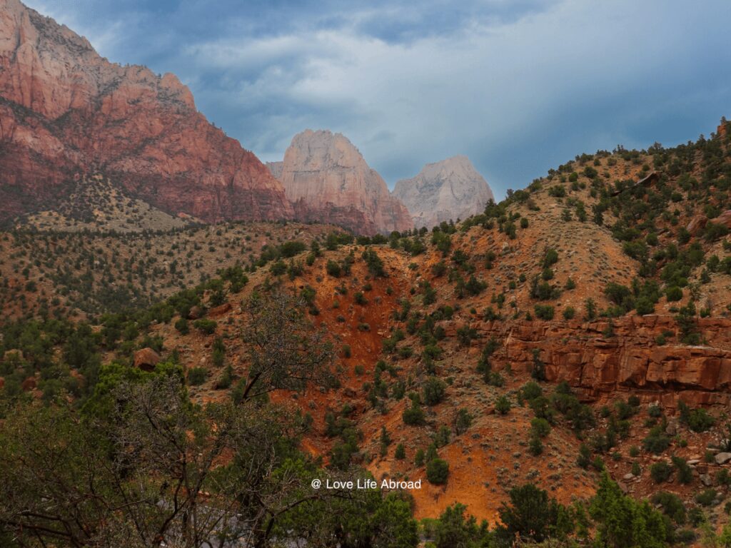
Red Hollow Slot Canyon
Your first stop outside Zion National Park will be at the Red Hollow Slot Canyon. It’s a 1.6-mile (2.6-km) out-and-back trail. It’s an easy hike. It can be confusing where to park, so pay attention.
Drive the road to the end by the water tank. To the right is an area to park.
You can have a picnic lunch at the trailhead before heading to the Red Canyon Arch. You can take some pictures. If you feel like it, hike the Buckhorn trail. It’s a 1.5-mile (2.4-km) moderate hike.
The hike has beautiful views of rocks and hoodoos after the initial switchbacks. The way back can be a little scary if you’re scared of heights, but the views were worth it.
Bryce Canyon City
Enjoy the rest of the day in Bryce Canyon City, where you’ll spend the next two nights.
Where to Stay in Bryce Canyon City with Kids?
If you are camping: Ruby’s Inn RV Park & Campground
If you’re looking for a hotel: Bryce View Lodge
Looking for more lodging options? Read this article on where to stay in Bryce Canyon National Park
Day 4 – Bryce Canyon National Park
Start your day early in the morning by taking the park’s shuttle bus from Bryce Canyon City to the national park.
Make a first stop at the visitor center to get your Junior Ranger Booklet and park maps.
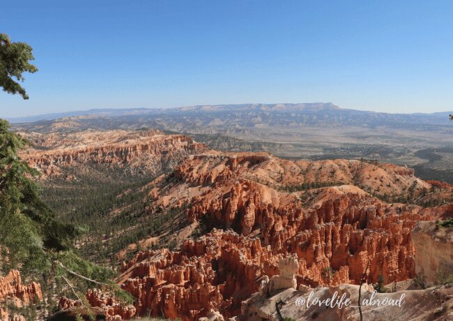
You’ll want to start at Bryce Point. It’s the last stop of the bus. Then, you can walk on the Bryce Point Trail. It’s a 0.2 miles-easy trail.
Use the shuttle to get to Inspiration Point and enjoy the views. Then, hop back on the shuttle to reach Sunset Point.
Navajo Loop Trail
At Sunset Point, you’ll want to hike the Navajo Loop Trail. It’s a 1.4-mile moderate hike. Then, you can walk from Sunset Point to Sunrise Point using the Rim Trail or hop back on the shuttle to reach Sunrise Point.
The section between Sunrise and Sunset Points is paved with minor elevation changes. The path is wheelchair and stroller accessible except in severe weather. It’s only a 1.0-mile (1.6-km) trail.
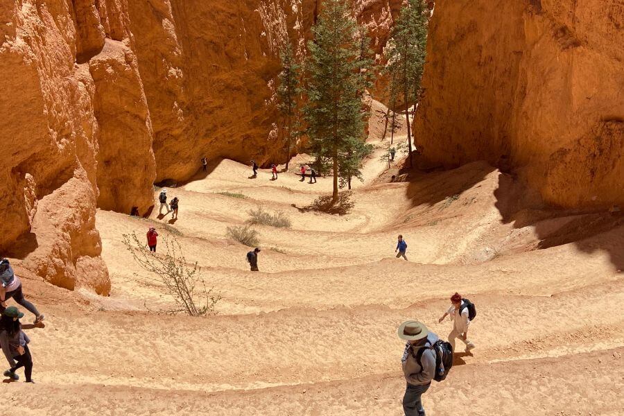
It’s a little scary to walk along the canyon rim with toddlers. We didn’t do it because the kids are a bit to active. But if your toddler is in a hiking carrier or if you have older kids, then definitely walk along the Rim Trail.
At Sunrise Point, don’t miss the Queen’s Garden Trail. It’s 1.8 miles (2.9 km) hike.
After that, you should be tired enough! Enjoy the hotel/campground amenities for the rest of the afternoon/evening
Day 5 – Drive to Capitol Reef National Park via Byway 12
🚗 Distance: 115 miles
🗺️ Route: UT-12 & UT-24
📍 Stops: Kodachrome Basin, Escalante Petrified Forest, Calf Creek Falls
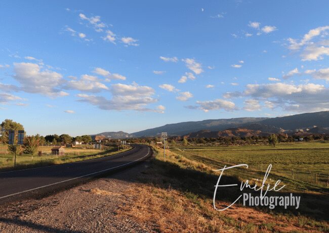
Leave Bryce Canyon after breakfast, but don’t forget to take a few pictures at the Bryce National Park sign if you haven’t already. To reach Capitol Reef National Park, you’ll drive on the scenic Byway 12.
Scenic Byway 12
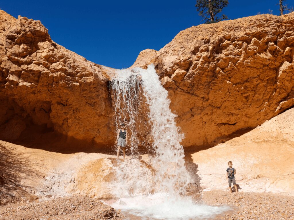
The first stop will be at Mossy Cave. The Mossy Cave trail is 0.9 miles (1.4 km) long (one-way). It’s an easy trail that leads to a waterfall. The kids will love walking behind the fall and cooling off.
The trail takes you through a beautiful canyon with towering hoodoos and rock formations. Along the way, you’ll see a waterfall, a stream, and a small cave with moss-covered walls (hence the name “Mossy Cave”).
Kodachrome Basin State Park
Then, head back in the car and follow Byway-12. You’ll stop at Kodachrome Basin State Park. You’ll see that the rock formations in the park resemble the vibrant colors of the Kodachrome film. The park covers an area of about 2,240 acres (907 hectares), and features over 70 sandstone spires, chimneys, and arches.
At Kodachrome Basin State Park, walk to the Grosvenor Arch. Grosvenor Arch is a unique double arch 150 feet (46 meters) tall and 92 feet (28 meters) wide. It’s made of Navajo Sandstone, which is around 160 million years old.
A small parking area is near the arch, and a short trail leads to a viewpoint where visitors can see the arch up close.
Grand Staircase-Escalante National Monument
When ready, drive a little more to reach Escalante and picnic at the Escalante City Park & Playground. Then, you’ll want to stop at Escalante Petrified Forest State Park to see petrified wood.
The Long Logs trail is where you’ll find one of the largest concentrations of petrified wood in the park. It’s a 1.6-mile (2.5 km) loop starting at the Rainbow Forest Museum parking area. The Giant Logs is another great kid-friendly hike to see petrified wood.
Kids will be fascinated by the petrified wood in the park. It looks like regular wood but has been turned to stone over millions of years.
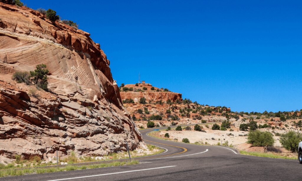
When ready, continue driving on Byway 12 and stop at the Lower Calt Creek Falls in Grand Staircase-Escalante National Monument.
Lower Calf Creek Falls is a beautiful waterfall about 126 feet (38 meters) tall, fed by Calf Creek.
The trail to the waterfall is 6.7 miles (10.8 km) round-trip and is considered moderate in difficulty. The trail follows the creek and offers stunning views of the surrounding cliffs, several ancient ruins, and rock art panels.
You can swim in the pool at the waterfall’s base but know that the water can be cold and the current can be strong.
It’s then time to drive to Torrey, where you’ll stay for the night.
Where to Stay in Torrey with Kids?
If you are camping: Wonderland RV park
Day 6 – Capitol Reef National Park
Start your day with some pictures of the Capitol Reef National Park sign. Then, drive to Goosenecks Point to admire the view. You can walk around or continue on the Sunset Point Trail.
Then, enter the park and stop at the visitor center to get your Junior Ranger Booklet and maps.
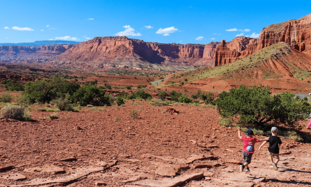
Sulphur Creek Trail
When you’re ready, hike to the Sulphur Creek Waterfall and enjoy the swimming holes.
This hike is not well-marked, so you may want to use the off-map option on AllTrails. The trail starts near the visitor center. You’ll park in the gravel parking area adjacent to the highway bridge over Sulphur Creek. It’s a 1.7-mile (2.7 km) out-and-back trail.
You can do the entire Sulphur Creek hike for families with older kids, a moderate 5.5 miles (8.9 kilometers) out-and-back trail. The trail follows the creek bed through several narrow slot canyons with several waterfalls and swimming holes.
🚫 Be careful: Dangerous flash floods are an occasional hazard on this route – do not hike the Sulphur Creek route if there is a chance of rain.
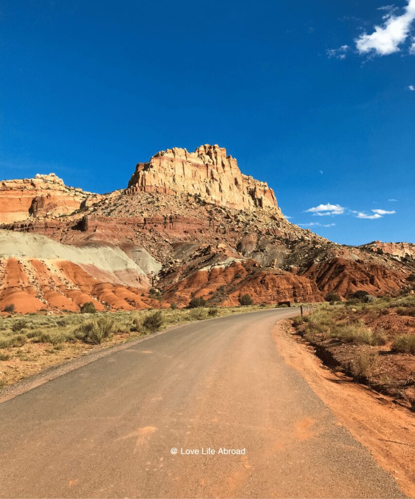
Capitol Reef Scenic Road
When you’re back in your car, drive along the Capitol Reef Scenic Road and have a picnic somewhere along the way. It’s a 16-mile round-trip drive with many viewpoints and trails, such as:
- Cohab Canyon Trail
- Hickman Bridge Trail
- Fremont River Trail
- Cassidy Arch Trail
- Grand Wash Trail
- Slick Rock Divide Turn-out
- Golden Throne Trail
On your way back, stop at the Fruitas district for fruit picking in the orchard. The fruit orchards are open to the public, so you can choose some fruits to take with you. Isn’t it the perfect hiking snack?
Different fruits are available depending on the season, but cherries, apricots, peaches, pears, and apples can be found.
Day 7 – Drive to Moab
- Distance: 180 miles
- Route: UT-24, US-191 & I-70
- Stops: Goblin Valley, Moonscape Overlook, Factory Butte
Today, you’ll drive to Moab. You’ll drive through Capitol Reef National Park and the Scenic drive, so if you didn’t have time to see it all the previous day, you could do so in the morning.
The Hickman Bridge hike would be a good one to do if you did hike it the day before. It’s a 1.8 miles trail. Hickman Bridge is a natural arch that spans 133 feet (40 meters) across a narrow canyon in the park.
Then, drive to the Factory Butte and stop at the Moonscape Overlook to admire the view.
Factory Butte is a distinctive, flat-topped peak that rises over 6,300 feet (1,920 meters) above sea level. It gets its name from a nearby gypsum factory in the early 1900s. The factory has since closed, but the butte remains a prominent landmark in the region.
The Moonscape Overlook offers stunning views of the surrounding desert landscape, including Factory Butte and the colourful hills and canyons that make up the area.
Note that the Moonscape Overlook is located on Bureau of Land Management (BLM) land, and there are no facilities or services at the site.
You can picnic there before heading to Goblin State Park to discover the Vallet of the Goblins.
The Goblin State Park features unique geological formations called hoodoos, or goblins. They were formed over millions of years by erosion of the sandstone rock. These formations are fun to explore and climb on.
Kids will especially love the park because it feels like a giant playground. Take the Goblin’s Lair Trail. It’s a 1.5-mile round-trip hike that takes you to the Goblin’s Lair, a cave-like formation in the middle of the valley. Kids love exploring the cave and climbing around the rocks.
When you’re done exploring the Valley of the Goblins, drive to Crystal Geyser.
🚫 Warning: Only visit the Crystal Geyser if you have a high clearance 4 – wheel drive vehicle. It’s a 22-mile off-road route.
This geyser is partially human-made. Years ago, it would erupt hourly at 100 feet (31 m). Over time, visitors’ vandalism and harm caused to the geyser have resulted in less powerful and less frequent eruptions. Nowadays, it’s reported to erupt twice a day, unpredictably, with eruptions lasting anywhere between a few minutes to nearly two hours.
Enjoy the rest of the day in Moab, where you’ll spend the next two nights. Arches and Canyonlands National Parks are easily accessible from Moab.
Where to Stay in Moab with Kids?
If you are camping: Under Canvas Moab
If you’re looking for a hotel: SpringHill Suites by Marriott Moab
Day 8 – Arches National Park
Start your day early at the visitor center to get your Junior Ranger Booklet and maps. Then, drive along the Arches Scenic Drive, a 36-mile round-trip drive. Bring lunch for a picnic along the way.
There are many stops along the way with viewpoints and hiking trails. Here are some must-stops with kids:
Stop at Balanced Rock
Balanced Rock is a natural sandstone formation that appears precariously balanced on a smaller base rock. The rock stands about 128 feet tall and has a diameter of about 55 feet at its widest point. It’s easily accessible from the road.
Hike to Landscape Arch from Devils’ Garden Trailhead
The trail is 2.0 miles (3.1 km) round-trip and is rated as easy. It starts at the end of the Arches Scenic Drive at the Devils’ Garden Trailhead. The Landscape Arch is the longest of the many natural rock arches located in Arches National Park.
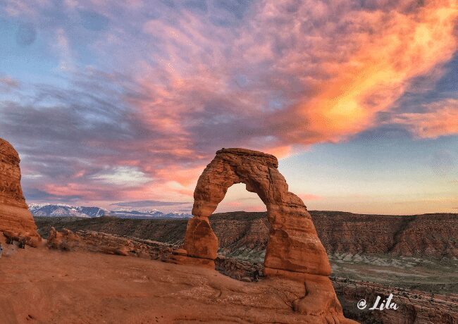
Hike to Delicate Arch in time for the sunset.
The trail is 3 miles round-trip and is rated as moderately complex due to some steep sections and exposure to heights. While the trail can be challenging for younger children, it can be a great experience for older kids who are up for the hike.
Enjoy the rest of the day in Moab.
Day 9 – Canyonland NP (Canyonlands Island in the Sky district)
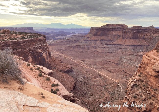
If you want to explore Canyonlands National Park, having an itinerary in mind is essential. The park is huge, with many different things to do and see. Stick to the Island in the Sky District for your day in Canyonland National Park.
Stop at the visitor center to get your Junior Ranger Booklet and maps first thing in the morning.
Then, drive on the The Island in the Sky District scenic drive. The 34-mile round-trip scenic drive features awe-inspiring overlooks, from 1,000 feet above, of the valleys below and the other park districts.
Make sure to do the following two short hikes with the kids:
- Grand View Point Trail. It’s a 2.1 miles trail. It gives you incredible views of the Island In The Sky District and other sites.
- Mesa Arch Trail. It’s a .7 miles loop.
- Have a picnic along the way
- Hike Mesa Arch trail, a loop of 0.7 miles
Enjoy the hotel/campground amenities for the rest of the afternoon/evening in Moab.
Do you have an extra day? Visit the Dead Horse Point State Park
Day 10 – Drive back to Salt Lake City
- Distance: 234 miles
- Route: 7US-191, US-6, I-15.
- Stops: USU Eastern Prehistoric Museum, Bridal Veil Falls
On the last day, you will drive back to Salt Lake City.
Your first stop will be at the USU Eastern Prehistoric Museum for an educational experience. It’s 115 miles from Moab.
The USU Eastern Prehistoric Museum has a wide range of exhibits that showcase the natural and cultural history of the region, including:
- Dinosaur fossils: The museum’s collection includes a variety of dinosaur fossils, including a 20-foot-long Allosaurus skeleton. Kids can even participate in a simulated fossil dig where they can search for and identify replica fossils or take a short hike to see real dinosaur tracks in the nearby hills
- Native American artifacts: The museum has an extensive collection of artifacts from the region’s ancient cultures, including pottery, arrowheads, and tools.
- Geology displays: The museum also has displays that showcase the region’s geology, including samples of rocks and minerals and interactive exhibits on plate tectonics and earthquakes.
Allow at least 2-3 hours to see all the exhibits and participate in the activities.
Once you’re done visiting the USU Eastern Prehistoric Museum, drive to the Bridal Veil Falls. It’s a 1.4-mile hike that takes you through beautiful scenery with a waterfall.
Then, drive to Salt Lake City, your final destination.
Planning a Road Trip to Utah National Parks
Here are a few things to know when planning a road trip to Utah national parks.
Book Your Flight to Salt Lake City (or Las Vegas)
Find cheap flights to Salt Lake City International Airport (SLC) using Google Flights or Skyscanner. Those two search engine searches for different airlines deserving SLC, including some low-cost ones.
Rent Your Car or Campervan
If you flew into Salt Lake City or Las Vegas to start your epic road trip to the Might 5, you must rent a car or rent a campervan.
If you wish to rent a car, DiscoverCars is a good search engine for car rentals. You can also rent a campervan from Salt Lake City, Las Vegas from Escape Campervans, or Outdoorsy. They each have campervan inventories at both locations.
We’ve used Escape Campervans on a road trip from Las Vegas and loved their new family campervan.
▶️ You can read our Escape Campervans review here.
▶️ You can read our Discover Cars review here.
How many days do you need to see the national parks in Utah?
You need at least seven days to see the five national parks in Utah. More ideally, you’ll want ten days or more.
What is the best month to visit the national parks in Utah?
The best time to visit Utah National Parks is April through May and September through October. But it can be really hot and crowded during July and August.
Which is better, Zion or Bryce National Park?
If you’re looking for epic hikes, Zion is better than Bryce National Park with the Narrows hike and Angel Landing. Bryce is better than Zion National Park if you’re looking for unique landscapes.
Which is more crowded, Zion or Bryce?
Zion is more crowded than Bryce Canyon and all other Utah national parks. It receives 3.5+ million per year, while Bryce Canyon receives 2.5+ million.
Which national parks in Utah are best with kids?
Zion National Park and Arches National Parks are considered the most kid-friendly of the Might 5. We loved visiting Capitol Reef with the kids. Fruit picking is an excellent activity for children.
Conclusion
We hope this itinerary has given you a good idea of how to plan a 10-day trip to the Utah National Parks. If you have any questions or comments, please leave them below!
Are you ready for this epic Utah National Parks road trip itinerary?
