Alberta is home to some of the most scenic roads in Canada. It’s perfect for a family road trip. From sparkling lakes to dramatic mountain passes, these drives are packed with incredible views and plenty of spots to stop, explore, and enjoy. They’re designed for making memories.
We’ve been exploring and road-tripping through Alberta for the past three years, and these routes have become some of our absolute favorites. They’re not just about the scenery—they’re about the experiences along the way. From roadside picnics to unexpected wildlife encounters, these drives have given us moments we’ll never forget.
If you’re planning a family road trip in Alberta, these scenic routes should be at the top of your list.
1. Icefields Parkway (Highway 93)
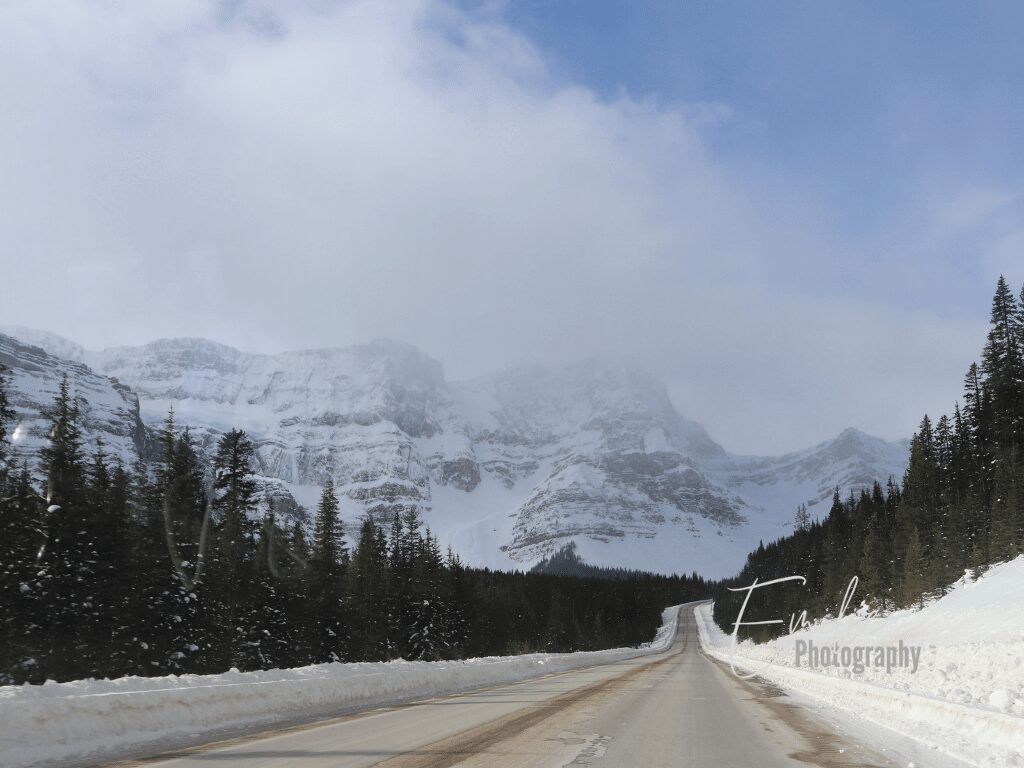
The Icefields Parkway (Highway 93) is a breathtaking 232 km (144 mi) scenic drive connecting Lake Louise in Banff National Park to Jasper in Jasper National Park. It is considered one of the most beautiful drives on the planet, and I couldn’t agree more. We drove along the Icefields Parkway many times, and it kept impressing us each time.
This drive takes you through the heart of the Canadian Rockies, offering stunning views of ancient glaciers, turquoise lakes, thundering waterfalls, and towering mountain peaks.
Highlights along the Icefields Parkway include:
- the vibrant blue-green hues of Peyto Lake, caused by the rock flour suspended in the glacial waters, are a must-see.
- the Weeping Wall, a unique geological formation where water constantly seeps through the rock face.
- the Columbia Icefield, one of the largest non-polar ice fields in the world, where you can experience the Athabasca Glacier up close.
- the powerful Athabasca Falls and the Sunwapta Falls.
More information about the Icefields Parways stops here!
2. Bow Valley Parkway (Highway 1A)
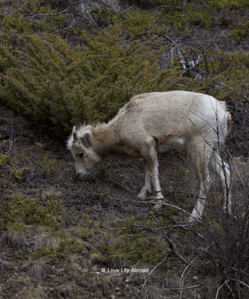
The Bow Valley Parkway (Highway 1A) is a scenic 48-kilometer (30-mile) route that runs parallel to the Trans-Canada Highway in Banff National Park. It offers a peaceful alternative for wildlife viewing and enjoying the natural beauty of Banff National Park.
This winding road takes you through the heart of the Bow Valley.
Highlights of the Bow Valley Parkway include:
- the chance to see large mammals such as elk, bighorn sheep, and bears. The parkway is renowned for its excellent wildlife viewing opportunities, especially during the early morning and evening hours when animals are most active.
- stunning vistas of the Canadian Rockies, such as the Morant’s Curve, where you can look for trains.
- several hiking trails, such as the popular Jonhston Canyon Trail and a family-friends hike in Banff.
- the Castle Mountain Internment Camp monument, where thousands of immigrants were imprisoned between 1914 and 1920.
💡 Note that part of Highway 1A travels through a wildlife corridor. Every year, Parks Canada closes the Bow Valley Parkway between the Firestone entrance and the Johnston Canyon campground between March 1st and June 25th, from 8PM to 8AM.
3. Lake Minnewanka Scenic Drive
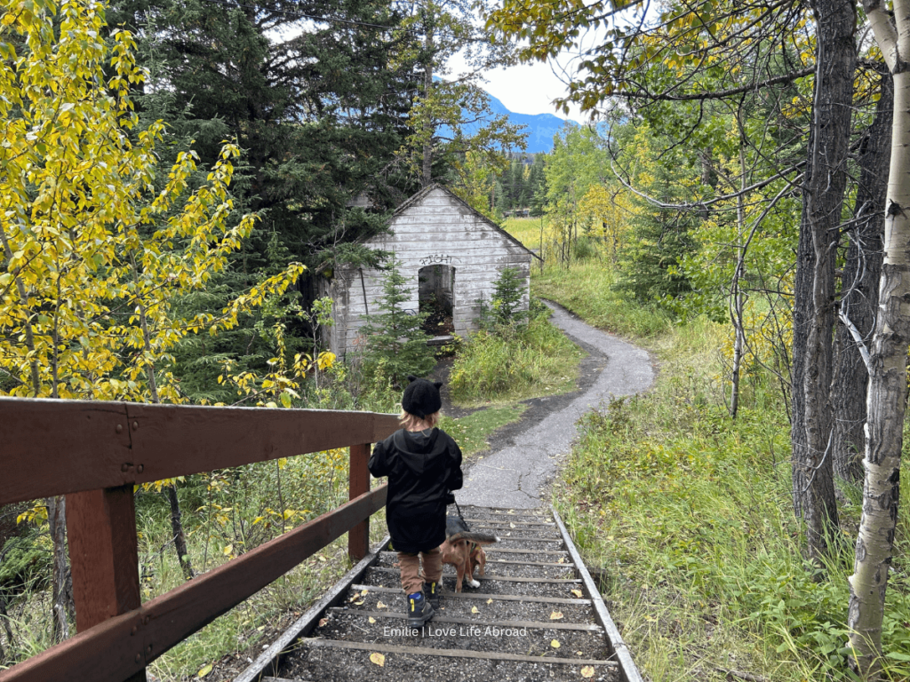
The Lake Minnewanka Scenic Drive is a picturesque loop around Lake Minnewanka near Banff, offering stunning lake and mountain views. This drive takes you along the shores of the glacier-fed lake, with opportunities to stop and admire the turquoise waters and towering peaks of the Canadian Rockies.
Highlights along the Lake Minnewanka Scenic Drive include:
- Cascade Ponds. A tranquil spot for picnicking and relaxing, with shallow waters perfect for families and kids to explore.
- Two Jack Lake. A picturesque lake offering stunning reflections of Mount Rundle, ideal for kayaking, paddleboarding, or a peaceful stroll along its shores.
- Lake Minnewanka. The largest lake in Banff National Park, where you can enjoy boat tours, hiking trails, and breathtaking mountain views.
- Lower Bankhead Trail. A short, family-friendly hike through the ruins of an abandoned coal mining town, complete with interpretive signs and historical artifacts.
4. Maligne Lake Road (Jasper)
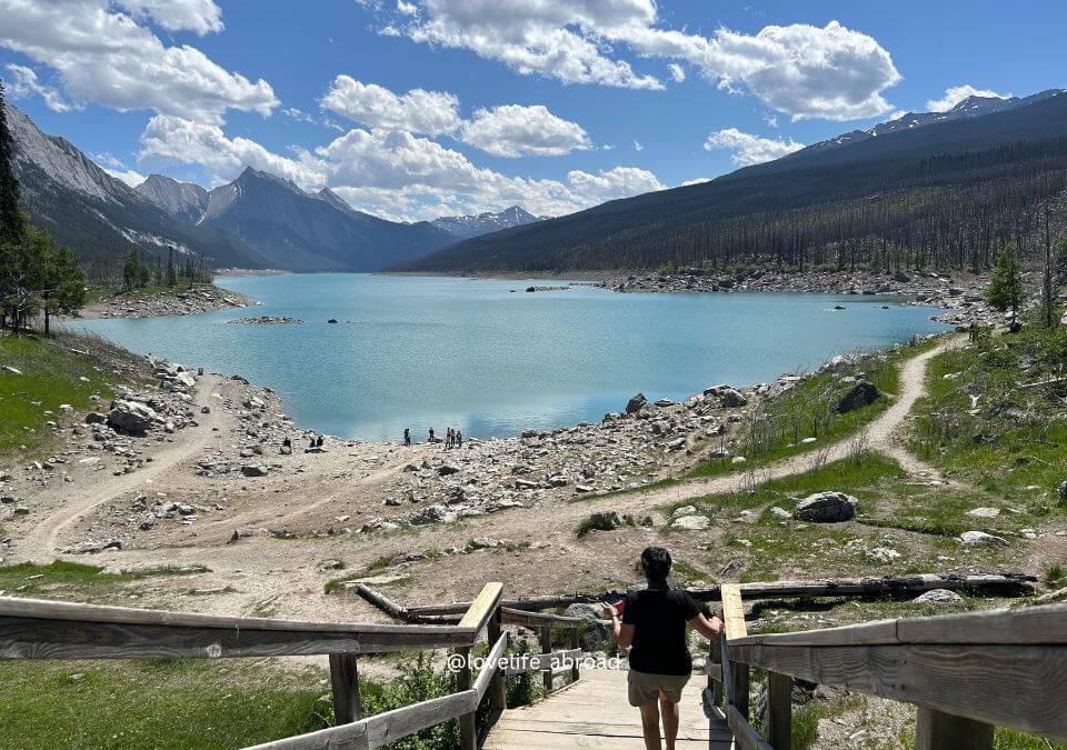
The scenic Maligne Lake Road is a winding 46 km (28.6 mile) drive that takes you from the town of Jasper through stunning mountain landscapes to the picturesque Maligne Lake. As you drive along this road, you’ll be treated to breathtaking views of the Canadian Rockies, dense forests, rushing rivers, and crystal-clear lakes.
The road follows the glacial valley, offering glimpses of towering peaks, cascading waterfalls, and wildlife in their natural habitat.
Highlights along the Maligne Lake Road include:
- Maligne Canyon, a stunning 3.7-kilometer hiking loop that takes hikers through the heart of the Maligne Canyon.
- Medicine Lake, a unique body of water that mysteriously drains and refills due to an underground cave system.
- the breathtaking sight of Maligne Lake, the largest natural lake in the Canadian Rockies. Its vibrant turquoise waters, surrounded by towering mountains, create a picture-perfect scene that is sure to leave a lasting impression.
💡 Make sure you check what is open or closed before visiting Jasper National Park. The town and national park are still being rebuilt after the 2024 devastating wildfire.
More about Jasper National Park here
4. Highway 40 (Kananaskis Trail)
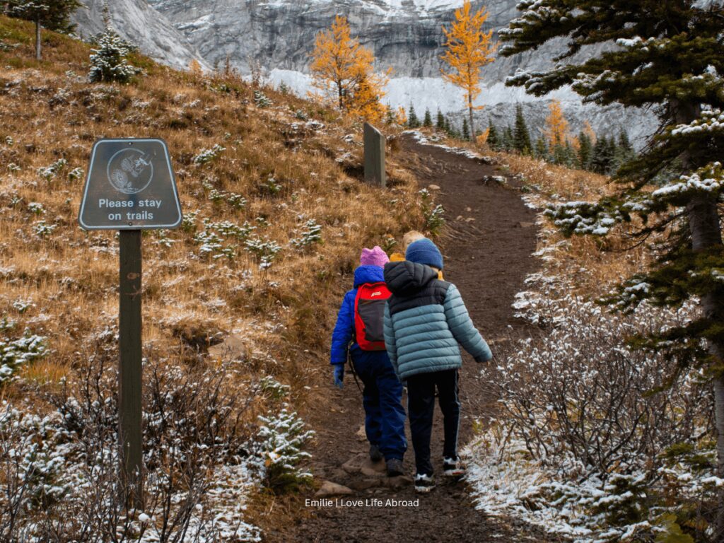
The Kananaskis Trail, also known as Highway 40, is a breathtaking 67-kilometer (41.6-mile) scenic drive that winds through the heart of Kananaskis Country, a stunning region of the Canadian Rockies just west of Calgary.
As you traverse the Kananaskis Trail, you’ll be treated to awe-inspiring vistas of towering peaks like Mount Indefatigable, Mount Lorette, and the iconic Mount Kidd. The drive also takes you past picturesque bodies of water, including the turquoise-hued Kananaskis Lakes and the serene Upper and Lower Kananaskis Lakes.
Highlights of the Kananaskis Trail include:
- the stunning turquoise Barrier Lake, perfect for paddleboarding or simply enjoying the views (though the water remains icy cold year-round).
- the scenic riverside Widow Maker Trail, where hikers can enjoy the rushing waters of the Kananaskis River.
- The tranquil Mt. Lorette Ponds is a peaceful spot for picnics and short walks.
- the serene Wedge Pond, with breathtaking mountain reflections, is ideal for relaxing or capturing stunning photos.
- The easy family-friendly Troll Falls hiking trail leads to multiple waterfalls (which transform into a magical frozen cascade in winter).
- several hiking opportunities and viewpoints on the Highwood Pass (including Mist Mountain, Arethusa Cirque, and Ptarmigan Cirque. The Highwood Pass is a really popular hiking place during the larch season.
💡Note that a section of the Kananaskis Trail is closed from December to June (from Kananaskis Lakes Trail to the Highwood House Junction)
6. Smith-Dorrien Trail (Highway 742)
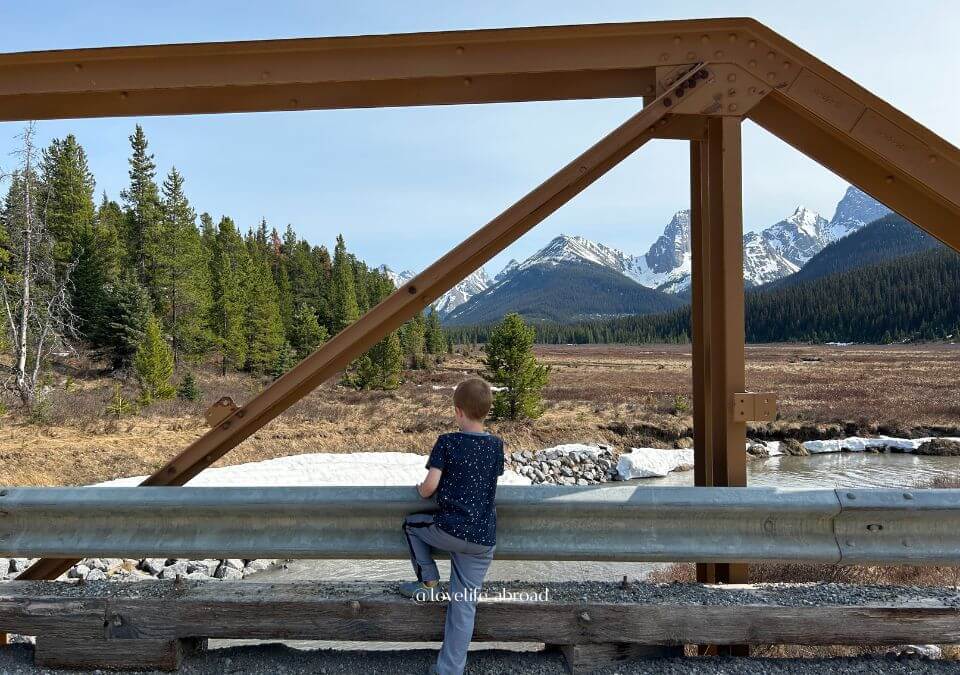
The Smith-Dorrien Trail (Highway 742) is a gravel road that winds through the Canadian Rockies’ rugged beauty, connecting the Canmore town to the Kananaskis region.
This scenic route offers stunning mountain vistas, pristine lakes, and ample opportunities for outdoor adventures. The dusty, winding road is a true taste of the Rockies’ raw wilderness, with washboard bumps and steep turns adding to the thrill of the journey.
Despite the rough terrain, the breathtaking views along the way make it a must-experience drive for nature lovers. And it doesn’t require a 4×4 vehicle.
Highlights of the Smith-Dorrien Trail include:
- Glamping at Mount Engadine Lodge. A cozy and luxurious way to enjoy the wilderness, offering stunning mountain views and abundant wildlife sightings.
- Upper Kananaskis Lake. A beautiful alpine lake perfect for hiking, kayaking, or enjoying a peaceful picnic by the water.
- Chester Lake Trail. A family-friendly hike that leads to a serene alpine lake, surrounded by meadows and stunning mountain scenery.
- Blackshale Suspension Bridge. A scenic and exciting bridge with panoramic views of the surrounding forests and rugged peaks.
7. Cowboy Trail (Highway 22)
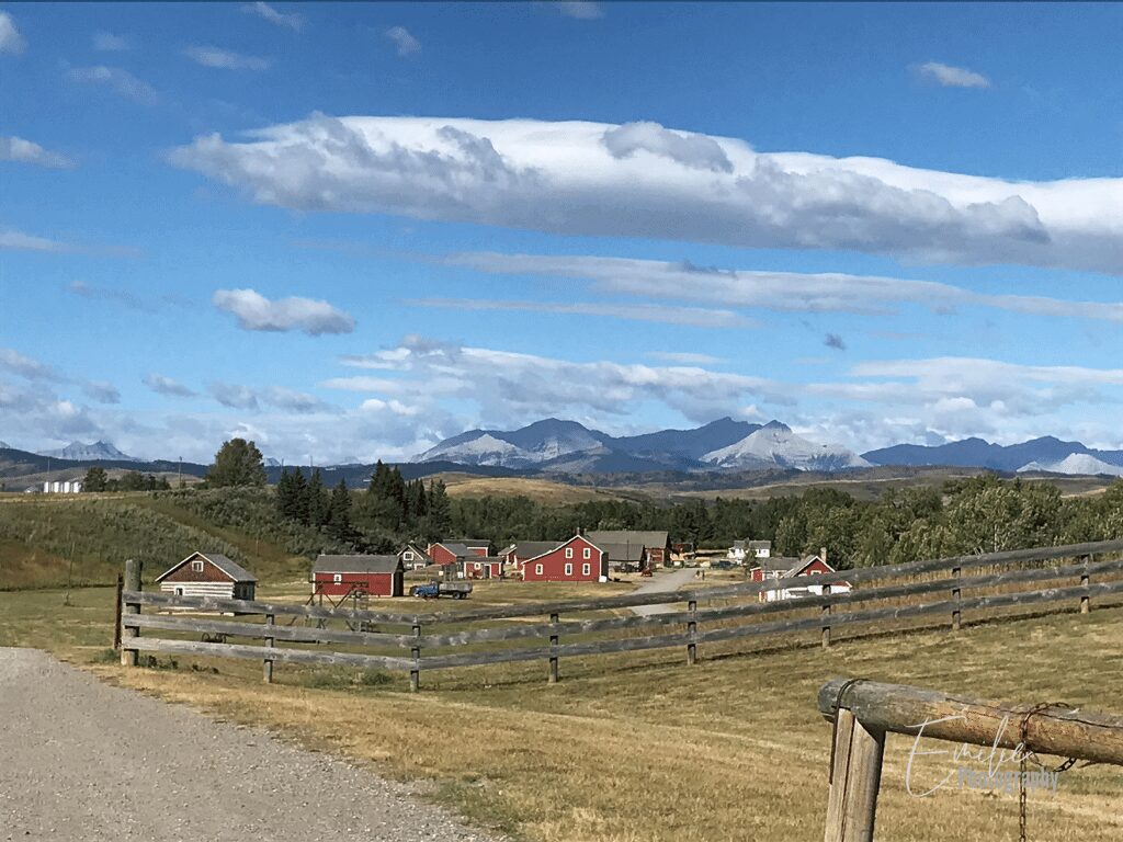
The Cowboy Trail (Highway 22) is a scenic 700 km (435 mile) drive that winds through southern Alberta’s rolling foothills and ranchlands, with the majestic Rocky Mountains serving as a backdrop. This historic route follows the eastern slopes of the Rockies from the town of Mayerthorpe, northwest of Edmonton, all the way down to the border with Montana.
As you travel along the Cowboy Trail, you’ll pass through charming small towns, working ranches, and vast open spaces that glimpse the region’s rich cowboy culture and history. The route takes you through picturesque landscapes dotted with pine forests, winding rivers, and rolling hills that stretch as far as the eye can see.
Highlights of the Cowboy Trail include:
- Rocky Mountain House National Historic Site. A place to step back in time and learn about the fur trade era and the lives of early settlers.
- Sundre. A charming town known for its Western heritage and proximity to outdoor adventures, including horseback riding and fishing.
- Cochrane. A vibrant town with a small-town feel, famous for its ice cream and stunning views of the foothills.
- Bragg Creek. A quaint hamlet offering artisan shops, cozy cafes, and access to beautiful trails in nearby Kananaskis Country.
- Bar U Ranch National Historic Site. A working ranch that preserves Alberta’s ranching history, with hands-on activities and heritage buildings to explore.
- Lundbreck Falls. A breathtaking waterfall where the Crowsnest River plunges over limestone ledges, a perfect spot for photography and picnics.
8. David Thompson Highway (Highway 11)
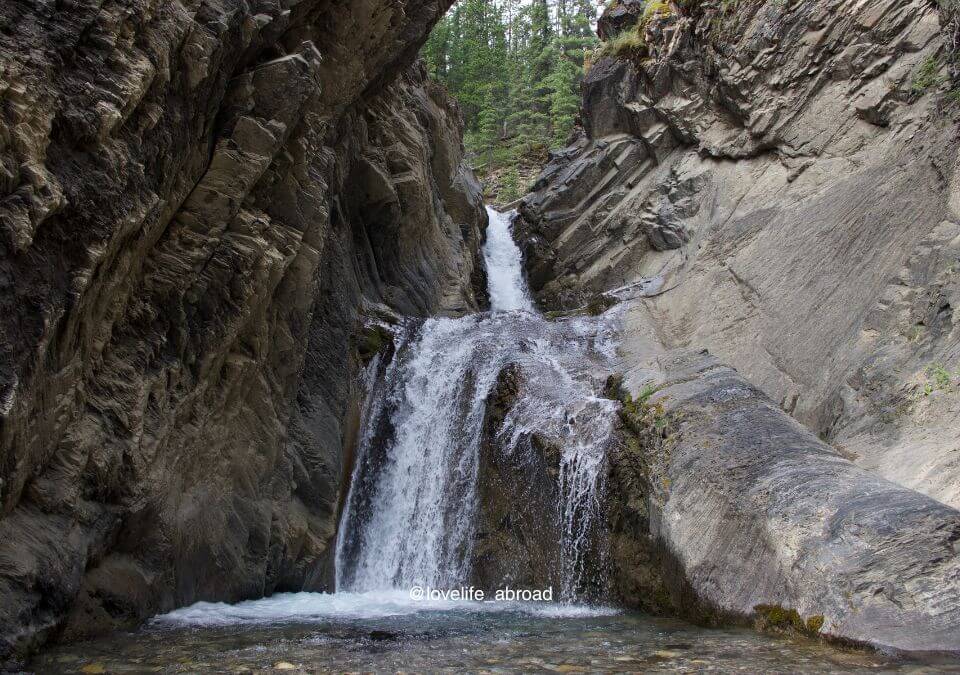
The David Thompson Highway (Highway 11) offers stunning views of Abraham Lake and the surrounding mountains as you travel through the Rockies. Abraham Lake, a man-made reservoir, is known for its striking blue-green hue and the unique frozen bubbles that form beneath its surface in winter. As you drive along this scenic route, you’ll be treated to breathtaking vistas of towering peaks, pristine wilderness, and the winding Cline River.
Highlights of the David Thompson Highway include:
- The historic Brazeau Collieries Mine. Explore Alberta’s coal-mining history on a guided tour. For families, the shorter 1.5-hour tour is highly recommended.
- White Goat Falls. A scenic waterfall that’s best experienced on a guided hike with Nordegg Adventures for added safety and insight.
- Goldeye Lake. A peaceful lake surrounded by forest, perfect for canoeing, fishing, or a quiet picnic.
- Abraham Lake. Famous for its turquoise waters and winter ice bubbles, this man-made lake offers breathtaking scenery year-round.
- Cline River. A picturesque stop where the river winds through rugged mountain terrain, ideal for short hikes and photography.
- Saskatchewan River Crossing. A historic trading post and scenic junction where three rivers meet, offering stunning views and a chance to refuel in the Icefields Parkway.
9. Dinosaur Trail (Drumheller)
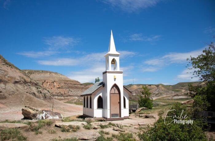
The Dinosaur Trail is a 48 km (30 mile) loop drive northwest of Drumheller, divided into two sections that run along both sides of the Red Deer River valley.
This scenic drive takes you through the heart of the Canadian Badlands, a landscape of eroded rock formations, coulees (deep gullies), and hoodoos (tall thin spires of rock). Along the way, you’ll see exposed ancient rock layers that contain some of the world’s richest deposits of dinosaur fossils and bones.
Highlights of the Dinosaur Trail include:
- The world-famous Homestead Antique Museum. A treasure trove of historical artifacts showcasing Alberta’s pioneer past. The cinnamon buns from the café are delicious
- Midland Coal Mine in Midland Provincial Park. Explore the remnants of Drumheller’s coal mining history in this scenic park.
- McMullen Island. A tranquil nature spot ideal for picnics and birdwatching.
- Drumheller’s Little Church. A charming miniature church that seats only six and offers a unique photo opportunity.
- Royal Tyrrell Museum of Palaeontology. A world-renowned museum featuring incredible dinosaur fossils and interactive exhibits.
- Horse Thief Canyon. A dramatic viewpoint overlooking the Badlands, perfect for hiking and photography.
- Bleriot Ferry. A historic cable ferry that carries vehicles across the Red Deer River, providing a unique experience.
- Orkney Viewpoint. A stunning overlook offering panoramic views of the Red Deer River Valley and surrounding landscapes.
- Andrew Farm Old Grain Elevator. A historic landmark showcasing the region’s agricultural heritage.
💡 Note that the North part of the Dinosaur Trail is more interesting for children.
10. Hoodoo Trail (AB- 10 in Drumheller)
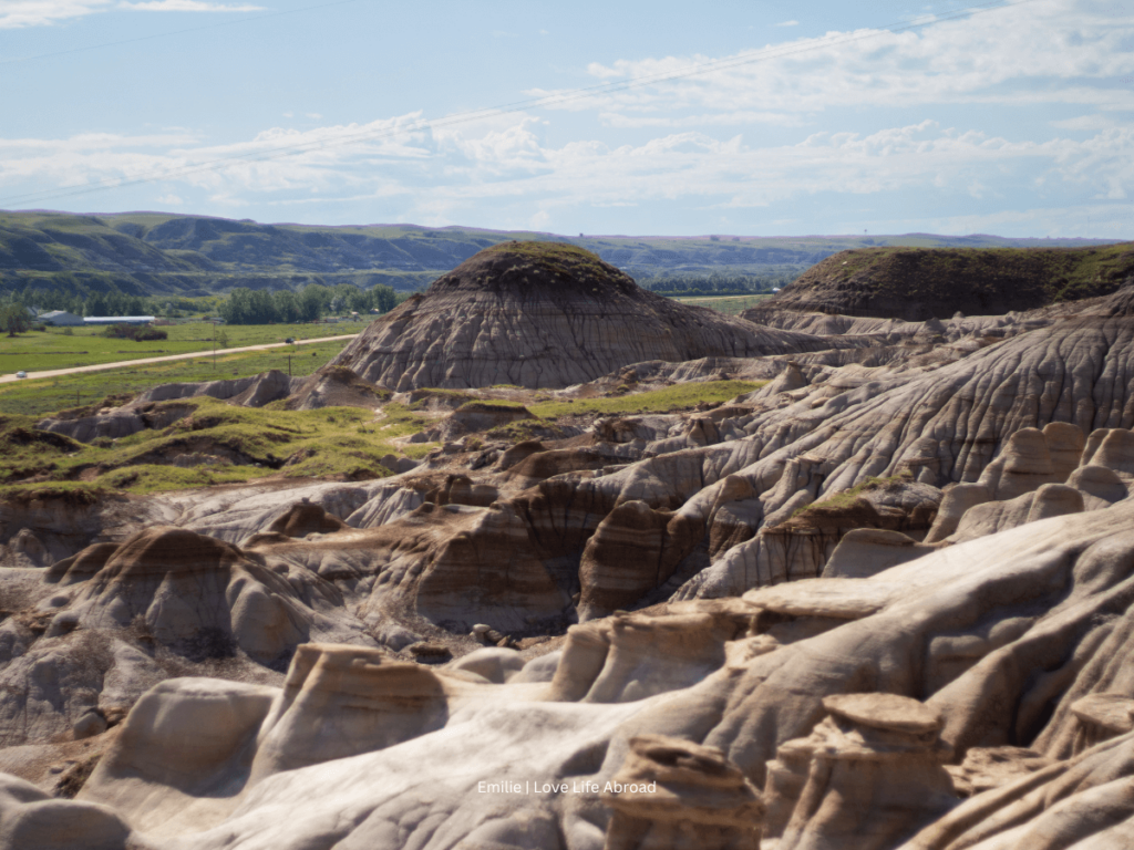
The Hoodoo Trail is a fascinating 27 km (17 mi) scenic drive in the heart of Alberta’s Badlands, stretching from Drumheller to the iconic Hoodoos. This unique route takes you through a dramatic desert-like landscape of rugged canyons, sandstone formations, and historical sites, making it a must-see for visitors exploring the Drumheller Valley.
We’ve driven the Hoodoo Trail multiple times, and the scenery never fails to amaze us. From the geological wonders to the rich cultural history, this drive offers something for everyone.
Highlights along the Hoodoo Trail include:
- The Hoodoos, towering sandstone pillars shaped by centuries of wind and water erosion, are the trail’s signature attraction.
- The East Coulee School Museum, a preserved 1930s school offering a glimpse into the region’s coal-mining past.
- The Atlas Coal Mine, Canada’s most complete historic coal mine, where you can take guided tours and learn about Alberta’s mining heritage.
- The Rosedale Suspension Bridge, a pedestrian bridge that crosses the Red Deer River, providing spectacular views and a touch of adventure.
- The Star Mine Suspension Bridge, another scenic crossing, leading to hiking trails and panoramic views of the Badlands.
More information about Drumheller stops here!
11. Bison Paddock Loop Road (Waterton Lakes)
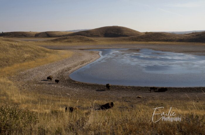
The Bison Paddock Loop Road is a scenic 6.5 km (4 mile) drive in Waterton Lakes National Park. This short loop takes you through the grasslands, offering excellent opportunities to view the park’s bison herd.
The road is usually open from late spring to early fall depending on weather conditions. Visitors are advised to stay safe from the bison and stay in their vehicles while driving the loop.
12. Red Rock Canyon Parkway (Waterton Lakes)
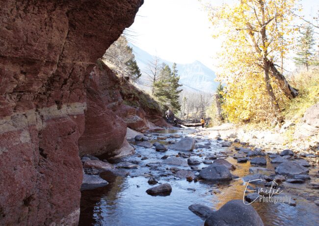
The Red Rock Canyon Parkway is a scenic drive that winds through Waterton Lakes National Park (not Red Rock Canyon just outside of Las Vegas) offering dramatic views of the park’s highest peak, Mount Blakiston, at 2,940 meters (9,645 feet) above sea level. This unique road takes you up the Blakiston Valley to the stunning Red Rock Canyon.
At the end of the parkway, you’ll find the trailhead for Red Rock Canyon, a striking geological formation featuring vibrant red rock walls carved by glaciers over millions of years. The canyon’s vivid colors and towering cliffs create a breathtaking sight. Hiking trails wind through the canyon, allowing you to explore this natural wonder up close.
Highlights along the Red Rock Canyon Parkway include:
- Bellevue Prairie Trail. A short, easy hike through open prairie, offering sweeping views and the chance to spot wildlife.
- Crandell Lake. A peaceful, family-friendly trail leading to a serene alpine lake surrounded by forested slopes.
- Red Rock Canyon Loop. A short walk around the vivid red rocks and crystal-clear creek, perfect for photography and exploring with kids.
- Blakiston Falls. A gentle hike that rewards visitors with stunning views of a cascading waterfall set against a dramatic mountain backdrop.
💡 Note that the Red Rock Canyon Parkway is closed every year from October 31 to May 1.
13. Crowsnest Highway, through Crowsnest Pass
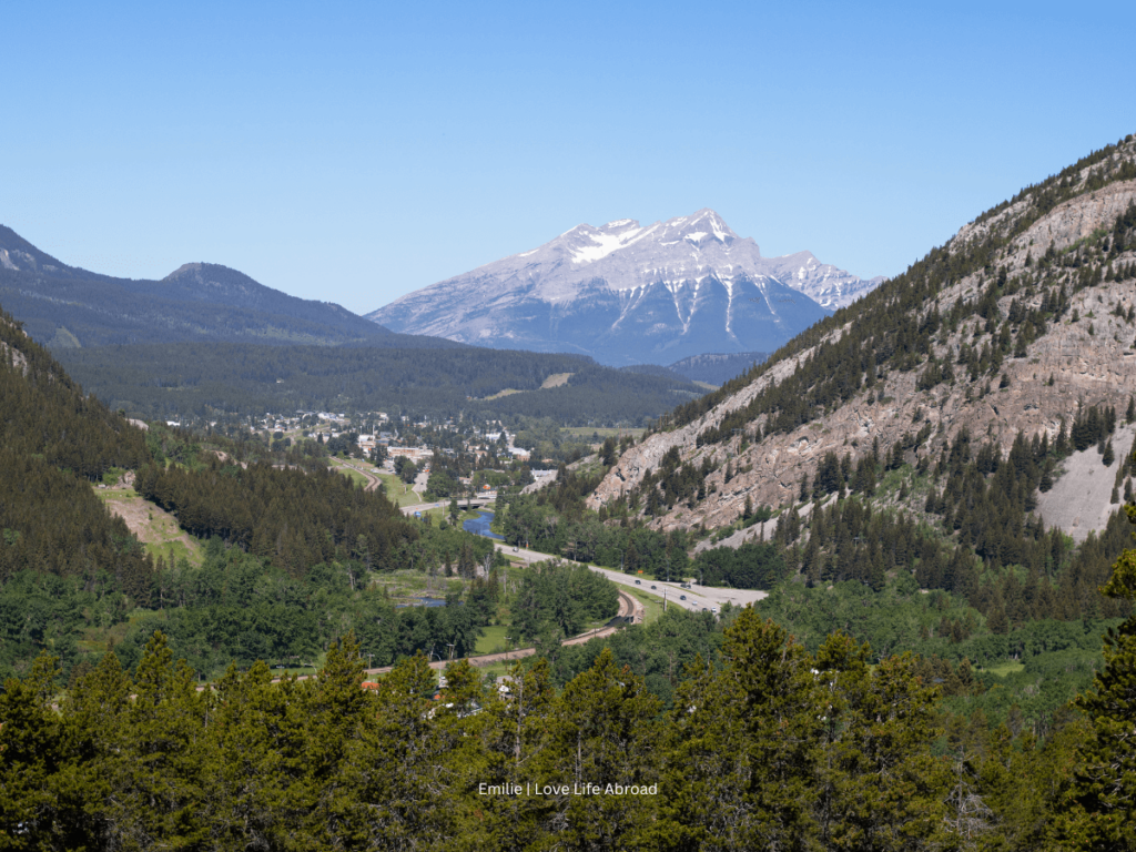
The Crowsnest Highway is a scenic drive along the historic Crowsnest Highway (Highway 3) that winds through the rugged Rocky Mountains of southwestern Alberta and southeastern British Columbia. It stretches 1,161 km (721 mi) across the southern portions of both provinces, from Hope, British Columbia to Medicine Hat, Alberta,
Originally traced out in the mid-19th century as a gold rush trail, the route offers breathtaking mountain vistas, winding roads, and a glimpse into the region’s rich history.
The highway follows the path of the Crowsnest River, taking travelers through the Crowsnest Pass, a historic mountain pass that served as a vital transportation corridor and trade route.
Highlights along the Crowsnest Pass include:
- Lundbreck Falls. A beautiful double waterfall where the Crowsnest River plunges over limestone ledges, perfect for photography or a relaxing picnic.
- Burmis Tree. A lone, weathered, limber pine standing as a resilient symbol of the region, ideal for a quick photo stop.
- Leitch Collieries Provincial Historic Site. Explore the ruins of a once-thriving coal mining operation, complete with interpretive signs that bring its history to life.
- Bellevue Underground Mine. Take a guided tour into an authentic coal mine to learn about the lives of miners and the area’s industrial past.
- Frank Slide Interpretive Centre. Discover the story of Canada’s deadliest rockslide, which buried part of the town of Frank in 1903, through interactive exhibits and stunning views of the slide path.
You can continue your drive to British Columbia along the Crowsnest Pass to Fernie, Christina Lake, Midway, and as far as Hope (the start of Fraser Canyon)
14. Cypress Hills Elevation Tour
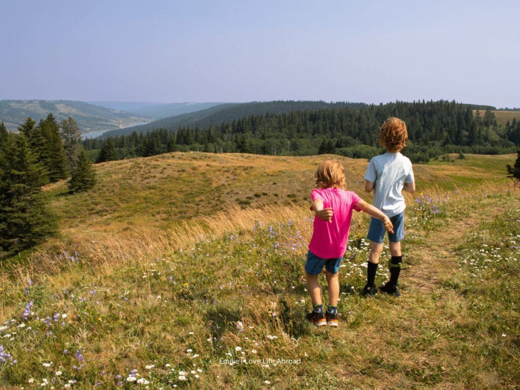
The Cypress Hills is a unique geographical region spanning the border between Alberta and Saskatchewan. Once surrounded by glaciers, this massive plateau offers a mixed forest ecosystem and stunning vistas. The Cypress Hills Elevation Tour is a 60 km loop that takes you through the eastern side of the Alberta portion, with highlights like Lookout Point and the Conglomerate Cliffs.
Highlights along the Cypress Hills Elevation Tour include:
- Elkwater. A charming lakeside village offering cozy accommodations, scenic trails, and opportunities for kayaking, fishing, and picnicking.
- Conglomerate Cliffs. A breathtaking viewpoint with stunning panoramas of the surrounding forested hills and prairies, perfect for photography.
- Reesor Historic Resort. A rustic retreat showcasing the history and charm of the Cypress Hills region, ideal for those seeking a peaceful escape.
- Fort Walsh National Historic Site. A significant landmark in Canadian history, where you can learn about the early days of the North-West Mounted Police and the area’s role in shaping the west.
💡 Note that some sections of the Cypress Hills Interprovincial Park have gravel roads that are impassible when wet.
Final Thoughts
Alberta is a road-trippers dream destination. It offers a stunning array of scenic drives that wind through majestic mountains, serene lakes, and unique landscapes. From the world-renowned Icefields Parkway to the lesser-known but equally enchanting routes like the Cowboy Trail and Dinosaur Trail, there’s no shortage of breathtaking vistas to explore.
These scenic drives aren’t just about getting from point A to point B; they’re immersive experiences that allow you to truly appreciate this remarkable province’s natural beauty and diverse terrains.

